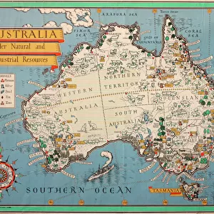
Home > Oceania > Australia > Maps
Enhanced Vegetation Index map showing the density of plant growth over the entire globe

![]()
Wall Art and Photo Gifts from Stocktrek
Enhanced Vegetation Index map showing the density of plant growth over the entire globe
This MODIS Enhanced Vegetation Index (EVI) map shows the density of plant growth over the entire globe. Very low values of EVI (white and brown areas) correspond to barren areas of rock, sand, or snow. Moderate values (light greens) represent shrub and grassland, while high values indicate temperate and tropical rainforests (dark greens)
Stocktrek Images specializes in Astronomy, Dinosaurs, Medical, Military Forces, Ocean Life, & Sci-Fi
Media ID 13012927
© Stocktrek Images
Africa America Asia Australia Cartography Climate Change Continent Europe Flat Global Global Warming Globe Land Feature Landform North America Oval South America Topography Vegetation Worldwide
FEATURES IN THESE COLLECTIONS
> Africa
> Related Images
> Asia
> Related Images
> Europe
> Related Images
> North America
> Related Images
> South America
> Related Images
EDITORS COMMENTS
This print showcases an Enhanced Vegetation Index (EVI) map, revealing the density of plant growth across the entire globe. The image, captured by Stocktrek Images, offers a unique perspective on our planet's vegetation patterns. The EVI values depicted in this map provide valuable insights into various ecosystems worldwide. The color-coded legend guides us through the different levels of vegetation density. Barren areas such as rock formations, sandy deserts, and snow-covered regions are represented by white and brown shades with very low EVI values. Light greens indicate moderate levels of shrubbery and grasslands, while dark greens signify thriving temperate and tropical rainforests. As we explore this visually striking map, it becomes evident that vegetation is not uniformly distributed across continents. North America, South America, Africa, Australia, Europe, and Asia each exhibit distinct patterns of plant growth based on their unique climates and topography. Beyond its aesthetic appeal lies a deeper message about global warming and climate change. This EVI map serves as a powerful tool for scientists studying these environmental challenges by providing an overview of how vegetation responds to changing conditions around the world. In this single-object photograph taken from space without any human presence visible within it; we witness nature's resilience showcased through vibrant colors spread over an oval-shaped representation of Earth's landforms. It reminds us to appreciate our planet's diverse landscapes while also highlighting the urgent need for conservation efforts to protect these invaluable ecosystems.
MADE IN THE USA
Safe Shipping with 30 Day Money Back Guarantee
FREE PERSONALISATION*
We are proud to offer a range of customisation features including Personalised Captions, Color Filters and Picture Zoom Tools
SECURE PAYMENTS
We happily accept a wide range of payment options so you can pay for the things you need in the way that is most convenient for you
* Options may vary by product and licensing agreement. Zoomed Pictures can be adjusted in the Cart.