Home > Europe > United Kingdom > England > London > Boroughs > Hounslow
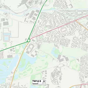
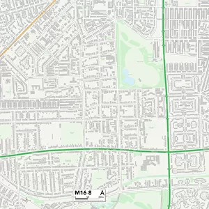
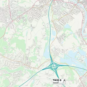
Hounslow TW14 0 Map

![]()
Wall Art and Photo Gifts from Map Marketing
Hounslow TW14 0 Map
Postcode Sector Map of Hounslow TW14 0
Media ID 19982282
Armadale Road Becketts Close Carlton Avenue Causeway Central Way Chichester Way Denham Road Durham Road Falcon Way Field Road Finch Drive Heron Way Hounslow Lansbury Avenue Mill Way Pier Road Roman Close Spur Road The Dell The Drive The Vale
FEATURES IN THESE COLLECTIONS
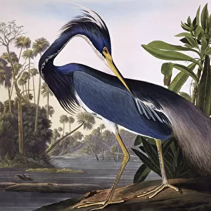
> Animals
> Birds
> Herons
> Green Heron
> Animals
> Birds
> Herons
> Related Images
> Animals
> Birds
> Passerines
> Finches
> Related Images
> Europe
> United Kingdom
> England
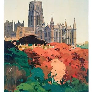
> Durham
> Carlton
> Europe
> United Kingdom
> England
> Durham
> Durham
> Europe
> United Kingdom
> England
> London
> Boroughs
> Hounslow
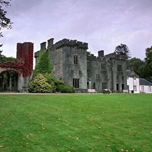
> Europe
> United Kingdom
> Scotland
> West Lothian
> Armadale
> Map Marketing
> Postcode Sector Maps
> TW - Twickenham
> Map Marketing
> UK Maps
> Maps and Charts
> Related Images
MADE IN THE USA
Safe Shipping with 30 Day Money Back Guarantee
FREE PERSONALISATION*
We are proud to offer a range of customisation features including Personalised Captions, Color Filters and Picture Zoom Tools
SECURE PAYMENTS
We happily accept a wide range of payment options so you can pay for the things you need in the way that is most convenient for you
* Options may vary by product and licensing agreement. Zoomed Pictures can be adjusted in the Cart.