Home > Arts > Photorealistic artworks > Detailed art pieces > Masterful detailing in art
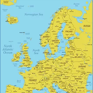
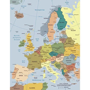
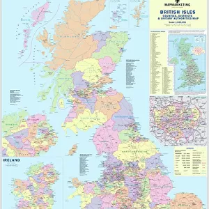
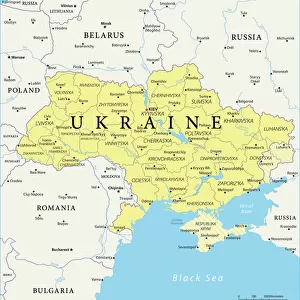
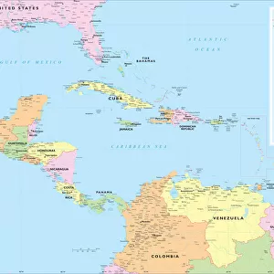
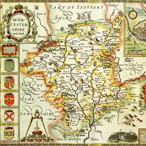
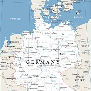
Europe Political Map

![]()
Wall Art and Photo Gifts from Map Marketing
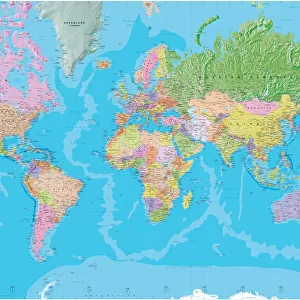
Europe Political Map
This detailed Europe map covers the whole of the continent of Europe, going east as far as Moscow and south to North Africa. Each country is shown in a different colour from its neighbours, and the city names are given in the native language of that country with English translations where necessary (for example Praha/Prague). A full legend is given in six languages (English, French, German, Finnish, Norwegian and Swedish) showing motorways and principal roads, towns and cities (with population indicated in six different population bands). International airports and ferry routes are also shown. Iceland is shown in an inset at the same scale
Media ID 19949304
© Map Marketing Ltd
FEATURES IN THESE COLLECTIONS
> Africa
> South Africa
> Maps
> Africa
> South Africa
> Related Images
> Arts
> Photorealistic artworks
> Detailed art pieces
> Masterful detailing in art
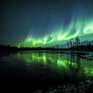
> Europe
> Finland
> Related Images
MADE IN THE USA
Safe Shipping with 30 Day Money Back Guarantee
FREE PERSONALISATION*
We are proud to offer a range of customisation features including Personalised Captions, Color Filters and Picture Zoom Tools
SECURE PAYMENTS
We happily accept a wide range of payment options so you can pay for the things you need in the way that is most convenient for you
* Options may vary by product and licensing agreement. Zoomed Pictures can be adjusted in the Cart.